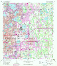
1956 Map of Orlando East
USGS Topo · Published 1981About this map
Winter Park and eastern Orlando define this mid-century landscape, characterized by a dense network of freshwater lakes and emerging suburban infrastructure. The map highlights the extensive footprint of the Orlando Naval Training Center, a major military installation that shaped the region's development during the Cold War era. Cultural and educational centers are prominent, from the historic campus of Rollins College to the Florida Sanitarium and numerous neighborhood institutions like Audubon Park Sch and Cherokee Jr High Sch.
Find a feature on this map
151 named features on this map. Tap any name to fly to it.
Don’t see what you’re looking for? This feature index may not catch every label — zoom into the map to look around manually.
Map Details
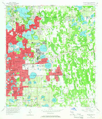
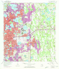
Editions of this 1956 Orlando East Map
4 editions found
Other maps of this area

1953 · Lake Jessamine
USGS Topo · 1:24,000

1953 · Pine Castle
USGS Topo · 1:24,000

1953 · Oviedo SW
USGS Topo · 1:24,000

1953 · Narcoossee NW
USGS Topo · 1:24,000

1955 · Orlando
USGS Topo · 1:250,000

1956 · Oviedo
USGS Topo · 1:24,000

1956 · Orlando West
USGS Topo · 1:24,000

1956 · Orlando East
USGS Topo · 1:24,000

1957 · Orlando
USGS Topo · 1:250,000

1958 · Orlando
USGS Topo · 1:250,000