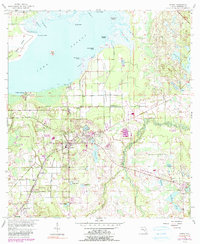
1956 Map of Oviedo
USGS Topo · Published 1990About this map
Lake Jessup dominates the northern landscape, its southern shoreline defined by points and landings like Big Gator Point and Whites Landing. This 1956 topography, with revisions through the late 1970s, captures the transition of Seminole County as small citrus and agricultural settlements like Oviedo and Slavia began to feel the reach of suburban expansion. The sprawling wetlands of Black Hammock and the Econlockhatchee River corridor provide a sharp contrast to the emerging infrastructure, including the Flying Seminole Ranch Airport and the Seaboard railroad lines that historically serviced the area's groves.
Find a feature on this map
58 named features on this map. Tap any name to fly to it.
Don’t see what you’re looking for? This feature index may not catch every label — zoom into the map to look around manually.
Map Details
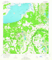
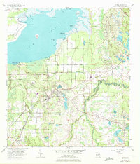
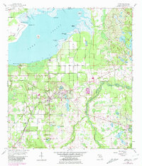
Editions of this 1956 Oviedo Map
5 editions found
Other maps of this area

1949 · Osceola
USGS Topo · 1:24,000

1953 · Geneva
USGS Topo · 1:24,000

1953 · Oviedo SW
USGS Topo · 1:24,000

1953 · Bithlo
USGS Topo · 1:24,000

1955 · Orlando
USGS Topo · 1:250,000

1956 · Oviedo
USGS Topo · 1:24,000

1956 · Orlando East
USGS Topo · 1:24,000

1957 · Orlando
USGS Topo · 1:250,000

1958 · Orlando
USGS Topo · 1:250,000

1962 · Orlando
USGS Topo · 1:250,000