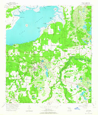
1956 Map of Oviedo
USGS Topo · Published 1964About this map
The Econlockhatchee River and its tributary, the Little Econlockhatchee River, define the eastern landscape of Seminole County in the mid-1950s. This survey centers on the citrus and vegetable farming hub of Oviedo, where the tracks of the Atlantic Coast Line and Seaboard Air Line intersect. The northern expanse is dominated by the marshy shoreline of Lake Jessup, featuring landmarks like Big Gator Point and the Marl Bed Flats.
Find a feature on this map
62 named features on this map. Tap any name to fly to it.
Don’t see what you’re looking for? This feature index may not catch every label — zoom into the map to look around manually.
Map Details
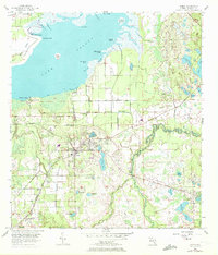
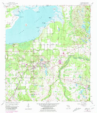
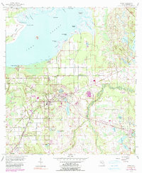
Editions of this 1956 Oviedo Map
5 editions found
Other maps of this area

1949 · Osceola
USGS Topo · 1:24,000

1953 · Geneva
USGS Topo · 1:24,000

1953 · Oviedo SW
USGS Topo · 1:24,000

1953 · Bithlo
USGS Topo · 1:24,000

1955 · Orlando
USGS Topo · 1:250,000

1956 · Oviedo
USGS Topo · 1:24,000

1956 · Orlando East
USGS Topo · 1:24,000

1957 · Orlando
USGS Topo · 1:250,000

1958 · Orlando
USGS Topo · 1:250,000

1962 · Orlando
USGS Topo · 1:250,000