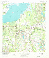
1956 Map of Oviedo
USGS Topo · Published 1972About this map
Oviedo serves as the central hub of this 1950s interior Florida landscape, a region defined by the transition from the shores of Lake Jessup to the winding course of the Econlockhatchee River. The Seaboard Coast Line railroad cuts through the terrain, connecting small settlements and transit points like Slavia, Chuluota, and Gabriella. The map documents a complex aquatic environment where the open waters of the lake meet the dense vegetation of Black Hammock and Mitchell Hammock.
Find a feature on this map
57 named features on this map. Tap any name to fly to it.
Don’t see what you’re looking for? This feature index may not catch every label — zoom into the map to look around manually.
Map Details
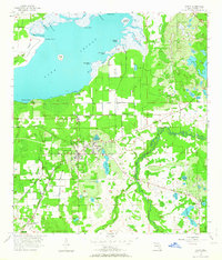
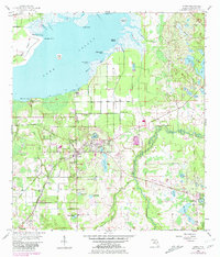
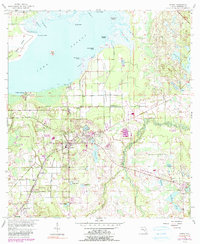
Editions of this 1956 Oviedo Map
5 editions found
Other maps of this area

1949 · Osceola
USGS Topo · 1:24,000

1953 · Geneva
USGS Topo · 1:24,000

1953 · Oviedo SW
USGS Topo · 1:24,000

1953 · Bithlo
USGS Topo · 1:24,000

1955 · Orlando
USGS Topo · 1:250,000

1956 · Oviedo
USGS Topo · 1:24,000

1956 · Orlando East
USGS Topo · 1:24,000

1957 · Orlando
USGS Topo · 1:250,000

1958 · Orlando
USGS Topo · 1:250,000

1962 · Orlando
USGS Topo · 1:250,000