
1962 Map of Orlando
USGS Topo · Published 1962About this map
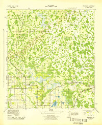
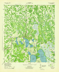
Orlando stands as the central hub of this Central Florida landscape during a period of rapid growth and aerospace expansion. Along the Atlantic coast, the significance of the Space Age is evident with the presence of Cape Canaveral and Patrick Air Force Base. The inland terrain is defined by a complex network of freshwater systems, including the massive Lake Apopka and the headwaters of the Saint Johns River, which flows through Lake Hellen Blazes and Sawgrass Lake.
Find a feature on this map
247 named features on this map. Tap any name to fly to it.
Don’t see what you’re looking for? This feature index may not catch every label — zoom into the map to look around manually.
Map Details
Editions of this 1962 Orlando Map
This is the sole edition of this map. No revisions or reprints were ever made.
Other maps of this area

1893 · Panasoffkee
USGS Topo · 1:62,500

1895 · Panasoffkee
USGS Topo · 1:62,500

1895 · Ocala
USGS Topo · 1:62,500

1937 · Port Orange
USGS Topo · 1:48,000

1943 · Port Orange
USGS Topo · 1:62,500

1944 · Plant City
USGS Topo · 1:31,680
1944 · Providence
USGS Topo · 1:31,680
1944 · Polk City
USGS Topo · 1:31,680

1944 · Lakeland
USGS Topo · 1:31,680

1944 · Auburndale
USGS Topo · 1:31,680