
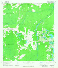
1962 Map of Casselberry
USGS Topo · Published 1964About this map
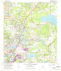
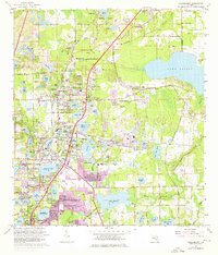
The central Florida wetlands and growing suburban corridors of Longwood and Casselberry are meticulously documented in this early 1960s survey. The landscape is defined by an intricate network of lakes, from the large expanse of Lake Mary in the north to the cluster of smaller basins like Lake Kathryn and Lake Concord near the town centers. This era of development is marked by recreational landmarks such as the Sanford-Orlando Kennel Club, the Seminole Park Raceway, and a local Go-Cart Track, alongside community hubs like Lyman High Sch and Camp San Pedro. The Atlantic Coast Line railroad cuts diagonally through the terrain, serving as a primary transit spine between the clusters of residential growth and industry, including several Claypits and a Drive-in Theater in Fern Park.
Find a feature on this map
103 named features on this map. Tap any name to fly to it.
Don’t see what you’re looking for? This feature index may not catch every label — zoom into the map to look around manually.
Map Details
Editions of this 1962 Casselberry Map
5 editions found
Other maps of this area

1953 · Oviedo SW
USGS Topo · 1:24,000

1955 · Orlando
USGS Topo · 1:250,000

1956 · Oviedo
USGS Topo · 1:24,000

1956 · Orlando West
USGS Topo · 1:24,000

1956 · Orlando East
USGS Topo · 1:24,000

1957 · Orlando
USGS Topo · 1:250,000

1958 · Orlando
USGS Topo · 1:250,000

1959 · Forest City
USGS Topo · 1:24,000

1962 · Orlando
USGS Topo · 1:250,000
1965 · Sanford SW
USGS Topo · 1:24,000