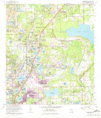
1962 Map of Casselberry
USGS Topo · Published 1970About this map
Lake Jessup anchors the eastern edge of this landscape, a region defined by its dense concentration of lakes and rapid mid-century suburban expansion. The transition from the rural groves of Eureka Hammock and Mecca Hammock toward the burgeoning centers of Longwood and Casselberry is visible in the network of secondary roads and local landmarks. Notable community sites include Mt Olive Ch, Lyman High Sch, and the Sanford Orlando Kennel Club. Commercial and recreational interests of the era are represented by the Seminole Park Raceway and a Drive-in Theater near the Seaboard Coast Line corridor. The map effectively documents the post-war infill as neighborhoods spread around Lake Wildmere, Lake Kathryn, and Lake Howell, illustrating the transformation of the central Florida interior through drainage and development.
Find a feature on this map
115 named features on this map. Tap any name to fly to it.
Don’t see what you’re looking for? This feature index may not catch every label — zoom into the map to look around manually.
Map Details
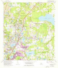
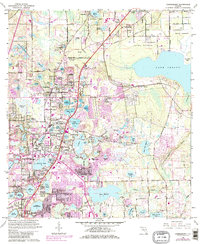
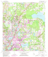
Editions of this 1962 Casselberry Map
5 editions found
Other maps of this area

1953 · Oviedo SW
USGS Topo · 1:24,000

1955 · Orlando
USGS Topo · 1:250,000

1956 · Oviedo
USGS Topo · 1:24,000

1956 · Orlando West
USGS Topo · 1:24,000

1956 · Orlando East
USGS Topo · 1:24,000

1957 · Orlando
USGS Topo · 1:250,000

1958 · Orlando
USGS Topo · 1:250,000

1959 · Forest City
USGS Topo · 1:24,000

1962 · Orlando
USGS Topo · 1:250,000

1962 · Casselberry
USGS Topo · 1:24,000