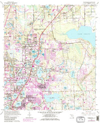
1962 Map of Casselberry
USGS Topo · Published 1981About this map
The suburban development of Seminole County is clearly visible in this survey, where the expansion of Casselberry and Altamonte Springs began to link formerly distinct citrus and cypress landscapes. The region's character is defined by its massive density of water bodies, from the sprawling Lake Jessup on the eastern edge to smaller pocket lakes like Fairy Lake, Lake Kathryn, and Lake Griffin. The central corridor is anchored by the Seaboard Coast Line railroad and the Pennsylvania Parkway, which served as the primary arteries for a growing population moving into new residential tracts.
Find a feature on this map
100 named features on this map. Tap any name to fly to it.
Don’t see what you’re looking for? This feature index may not catch every label — zoom into the map to look around manually.
Map Details
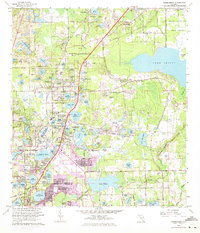
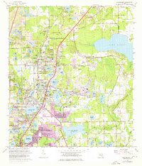
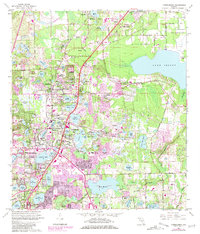
Editions of this 1962 Casselberry Map
5 editions found
Other maps of this area

1953 · Oviedo SW
USGS Topo · 1:24,000

1955 · Orlando
USGS Topo · 1:250,000

1956 · Oviedo
USGS Topo · 1:24,000

1956 · Orlando West
USGS Topo · 1:24,000

1956 · Orlando East
USGS Topo · 1:24,000

1957 · Orlando
USGS Topo · 1:250,000

1958 · Orlando
USGS Topo · 1:250,000

1959 · Forest City
USGS Topo · 1:24,000

1962 · Orlando
USGS Topo · 1:250,000

1962 · Casselberry
USGS Topo · 1:24,000