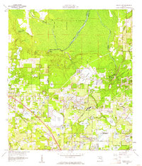
1965 Map of Sanford SW
USGS Topo · Published 1967About this map
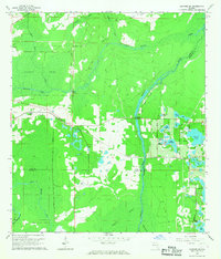
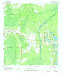
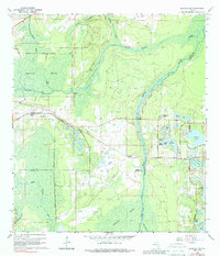
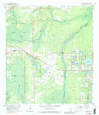
Seminole Swamp and the dense wetlands of central Florida dominate this mid-century survey, documenting a landscape defined by its intricate water systems. The Wekiva River serves as a primary artery, fed by tributaries like Black Water Creek and Rock Springs Run. The transportation patterns reflect a transition from early timber and citrus rail lines to modern roads, with the Atlantic Coast Line running through Cassia Station while an Old Railroad Grade bypasses the swamp farther north.
Find a feature on this map
35 named features on this map. Tap any name to fly to it.
Don’t see what you’re looking for? This feature index may not catch every label — zoom into the map to look around manually.
Map Details
Editions of this 1965 Sanford SW Map
4 editions found
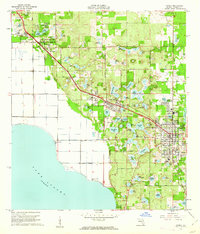
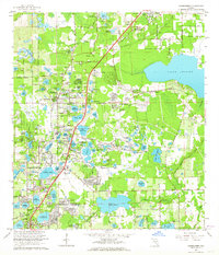
Other maps of this area

1955 · Orlando
USGS Topo · 1:250,000

1957 · Orlando
USGS Topo · 1:250,000

1958 · Orlando
USGS Topo · 1:250,000
1959 · Forest City
USGS Topo · 1:24,000

1960 · Sorrento
USGS Topo · 1:24,000
1960 · Apopka
USGS Topo · 1:24,000

1962 · Orlando
USGS Topo · 1:250,000

1962 · Pine Lakes
USGS Topo · 1:24,000
1962 · Casselberry
USGS Topo · 1:24,000
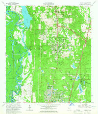
1964 · Orange City
USGS Topo · 1:24,000