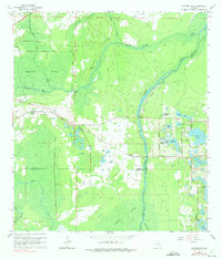
1965 Map of Sanford SW
USGS Topo · Published 1975About this map
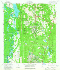
The Wekiva River winds through a landscape of expansive wetlands and scattered settlements in this mid-1960s survey. The area is defined by the convergence of the Seminole Swamp and Wekiva Swamp, where numerous spring-fed waterways like Black Water Creek and Rock Springs Run feed into the central river system. The settlement of Ethel and its local cemetery appear near the center, while the Atlantic Coast Line railroad cuts across the terrain, serving Cassia Station in the west. This transportation corridor follows the path of the Old Railroad Grade, illustrating the shift from early logging or transit routes to modern infrastructure. To the east, a cluster of named lakes including Sylvan Lake, Lake Markham, and Yankee Lake indicates early residential development and water-oriented land use along Markham Road.
Find a feature on this map
35 named features on this map. Tap any name to fly to it.
Don’t see what you’re looking for? This feature index may not catch every label — zoom into the map to look around manually.
Map Details
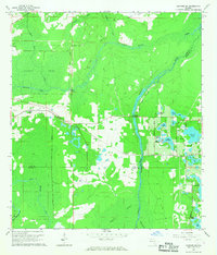
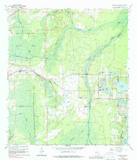
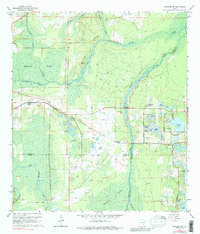
Editions of this 1965 Sanford SW Map
4 editions found
Other maps of this area

1955 · Orlando
USGS Topo · 1:250,000

1957 · Orlando
USGS Topo · 1:250,000

1958 · Orlando
USGS Topo · 1:250,000

1959 · Forest City
USGS Topo · 1:24,000

1960 · Sorrento
USGS Topo · 1:24,000

1960 · Apopka
USGS Topo · 1:24,000

1962 · Orlando
USGS Topo · 1:250,000

1962 · Pine Lakes
USGS Topo · 1:24,000

1962 · Casselberry
USGS Topo · 1:24,000
1964 · Orange City
USGS Topo · 1:24,000