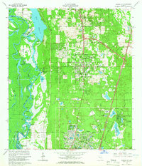
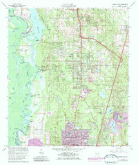
1964 Map of Orange City
USGS Topo · Published 1965About this map
The St Johns River defines the western edge of this mid-1960s survey, winding through a complex of backwaters and named bends including Coxetters Bend and Florida Bend. To the east, the rising land supports the growing communities of Orange City and DeBary, which are anchored by a high concentration of freshwater lakes such as Lake Marie and Lake Anna Maria. The landscape reflects a mix of older river-based activity at Starks Landing and Huntoon Landing alongside the inland expansion of residential street grids like Elkcam Blvd and Normandy Blvd.
Find a feature on this map
91 named features on this map. Tap any name to fly to it.
Don’t see what you’re looking for? This feature index may not catch every label — zoom into the map to look around manually.
Map Details
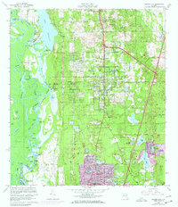
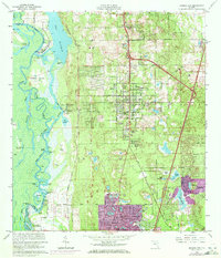
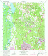
Editions of this 1964 Orange City Map
5 editions found
Other maps of this area

1954 · Daytona Beach
USGS Topo · 1:250,000

1955 · Orlando
USGS Topo · 1:250,000

1957 · Orlando
USGS Topo · 1:250,000

1958 · Orlando
USGS Topo · 1:250,000

1958 · Daytona Beach
USGS Topo · 1:250,000

1962 · Orlando
USGS Topo · 1:250,000

1962 · Pine Lakes
USGS Topo · 1:24,000

1962 · Daytona Beach SW
USGS Topo · 1:24,000

1962 · Lake Woodruff
USGS Topo · 1:24,000

1964 · Daytona Beach
USGS Topo · 1:250,000