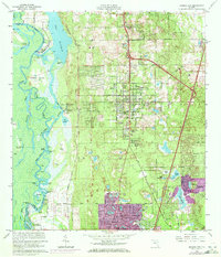
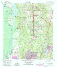
1964 Map of Orange City
USGS Topo · Published 1972About this map
The St Johns River defines the western edge of this central Florida landscape, weaving through a complex network of wetlands and islands including Huntoon Island and Dresser Island. During the mid-20th century, this region saw a shift from traditional river landings like Emanuel Landing and Starks Landing toward established inland settlements. The city plan of Orange City is clearly defined by its grid of avenues such as Minnesota Ave and Ohio Ave, while the developing suburbs of DeBary and Deltona are highlighted in purple, indicating growth detected during the 1970 revision.
Find a feature on this map
88 named features on this map. Tap any name to fly to it.
Don’t see what you’re looking for? This feature index may not catch every label — zoom into the map to look around manually.
Map Details
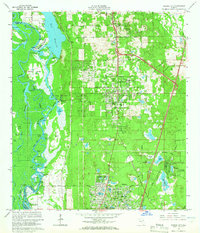
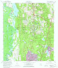
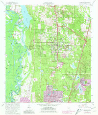
Editions of this 1964 Orange City Map
5 editions found
Other maps of this area

1954 · Daytona Beach
USGS Topo · 1:250,000

1955 · Orlando
USGS Topo · 1:250,000

1957 · Orlando
USGS Topo · 1:250,000

1958 · Orlando
USGS Topo · 1:250,000

1958 · Daytona Beach
USGS Topo · 1:250,000

1962 · Orlando
USGS Topo · 1:250,000

1962 · Pine Lakes
USGS Topo · 1:24,000

1962 · Daytona Beach SW
USGS Topo · 1:24,000

1962 · Lake Woodruff
USGS Topo · 1:24,000

1964 · Daytona Beach
USGS Topo · 1:250,000