
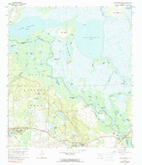
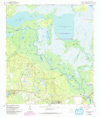
1962 Map of Lake Woodruff
USGS Topo · Published 1964About this map
St Johns River meanders through a dense network of marshes and side channels in this 1960s study of central Florida's wetlands. The landscape is defined by its complex hydrology, featuring wide expanses like Lake Woodruff and Lake Dexter, connected by a labyrinth of smaller waterways including Cross Cr and Harrys Creek. While much of the area is protected within the Ocala National Forest, small riverfront and lakeside settlements punctuate the terrain.
Find a feature on this map
57 named features on this map. Tap any name to fly to it.
Don’t see what you’re looking for? This feature index may not catch every label — zoom into the map to look around manually.
Map Details
Editions of this 1962 Lake Woodruff Map
3 editions found
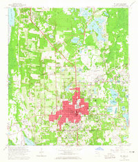
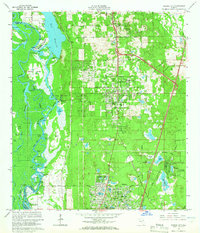
Other maps of this area

1954 · Daytona Beach
USGS Topo · 1:250,000

1955 · Orlando
USGS Topo · 1:250,000

1957 · Orlando
USGS Topo · 1:250,000

1958 · Orlando
USGS Topo · 1:250,000

1958 · Daytona Beach
USGS Topo · 1:250,000

1962 · Orlando
USGS Topo · 1:250,000

1962 · Pine Lakes
USGS Topo · 1:24,000

1964 · Daytona Beach
USGS Topo · 1:250,000
1964 · De Land
USGS Topo · 1:24,000
1964 · Orange City
USGS Topo · 1:24,000