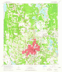
1964 Map of De Land
USGS Topo · Published 1965About this map
Stetson University sits at the heart of the central Florida city of De Land, a landscape defined by its numerous freshwater bodies and shifting citrus-and-timber terrain. The mid-1960s character of the area is visible in the concentration of local institutions, including the West Volusia Memorial Hospital and the Florida Military Sch. To the north, the smaller settlement of Deleon Springs lies near the headwaters of Spring Garden Lake, while the Atlantic Coast Line railroad creates a distinct corridor through Glenwood toward Beresford.
Find a feature on this map
86 named features on this map. Tap any name to fly to it.
Don’t see what you’re looking for? This feature index may not catch every label — zoom into the map to look around manually.
Map Details
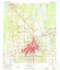
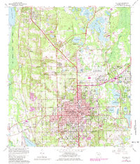
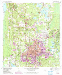
Editions of this 1964 De Land Map
4 editions found
Other maps of this area

1954 · Daytona Beach
USGS Topo · 1:250,000

1955 · Orlando
USGS Topo · 1:250,000

1957 · Orlando
USGS Topo · 1:250,000

1958 · Orlando
USGS Topo · 1:250,000

1958 · Daytona Beach
USGS Topo · 1:250,000

1962 · Orlando
USGS Topo · 1:250,000

1962 · Pine Lakes
USGS Topo · 1:24,000

1962 · Daytona Beach NW
USGS Topo · 1:24,000

1962 · Daytona Beach SW
USGS Topo · 1:24,000

1962 · Lake Woodruff
USGS Topo · 1:24,000