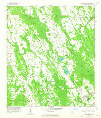
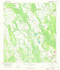
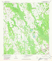
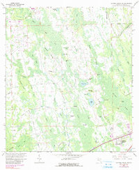
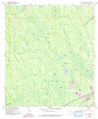
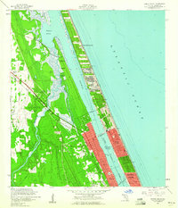
1962 Map of Daytona Beach NW
USGS Topo · Published 1964About this map
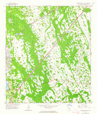
Rima Ridge and the dense interior wetlands of Volusia County define this landscape as it appeared in the early 1960s. The area is characterized by an intricate network of strands and bays, including Vampire Strand, Dark Entry Strand, and Burnt Owl Bay, punctuated by elevated "islands" such as Big Bear Island and Little Bear Island. Water management is evident through the Tiger Bay Canal and various drainage features like Soaking Gully Drain and Sandy Drain that cut through Bennett Swamp.
Find a feature on this map
48 named features on this map. Tap any name to fly to it.
Don’t see what you’re looking for? This feature index may not catch every label — zoom into the map to look around manually.
Map Details
Editions of this 1962 Daytona Beach NW Map
5 editions found
Other maps of this area

1937 · Ormond
USGS Topo · 1:48,000

1944 · Ormond
USGS Topo · 1:62,500
1952 · Samsula
USGS Topo · 1:24,000
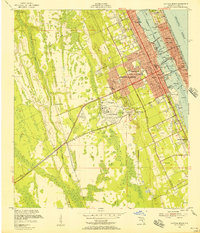
1952 · Daytona Beach
USGS Topo · 1:24,000

1954 · Daytona Beach
USGS Topo · 1:250,000
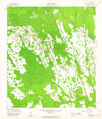
1956 · Favoretta
USGS Topo · 1:24,000
1956 · Ormond Beach
USGS Topo · 1:24,000

1958 · Daytona Beach
USGS Topo · 1:250,000
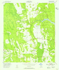
1962 · Daytona Beach SW
USGS Topo · 1:24,000

1964 · Daytona Beach
USGS Topo · 1:250,000