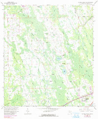
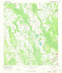
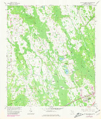
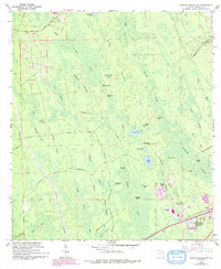
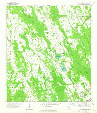
1962 Map of Daytona Beach NW
USGS Topo · Published 1990About this map
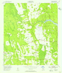
Bennett Swamp and the dense wetland networks of the Florida interior define this 1962 landscape, captured just as residential growth began to touch the eastern edge of the quadrangle. While the majority of the area remains dominated by natural features like Rima Ridge and Middle How Creek, the emergence of Daytona Highridge Estates in the southeast corner signals the post-war expansion of the Daytona area.
Find a feature on this map
43 named features on this map. Tap any name to fly to it.
Don’t see what you’re looking for? This feature index may not catch every label — zoom into the map to look around manually.
Map Details
Editions of this 1962 Daytona Beach NW Map
5 editions found
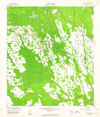
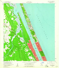
Other maps of this area

1937 · Ormond
USGS Topo · 1:48,000

1944 · Ormond
USGS Topo · 1:62,500
1952 · Samsula
USGS Topo · 1:24,000
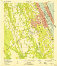
1952 · Daytona Beach
USGS Topo · 1:24,000

1954 · Daytona Beach
USGS Topo · 1:250,000
1956 · Favoretta
USGS Topo · 1:24,000
1956 · Ormond Beach
USGS Topo · 1:24,000

1958 · Daytona Beach
USGS Topo · 1:250,000
1962 · Daytona Beach NW
USGS Topo · 1:24,000
1962 · Daytona Beach SW
USGS Topo · 1:24,000