
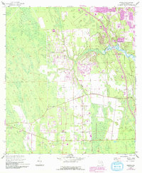
1952 Map of Samsula
USGS Topo · Published 1956About this map
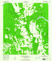
Samsula serves as the primary hub of this coastal Florida landscape, where agricultural clearings and citrus groves meet the winding course of Spruce Creek. The map documents a period of early aviation and infrastructure development, centered on the Spruce Creek Airport and the remnants of former transportation routes like the Old Railroad Grade. To the west, a navigational Beacon stands near areas marked by Spoil Banks and a Borrow Pit, indicating the ongoing alteration of the terrain for drainage or road construction during the mid-century. This survey provides a rare look at the drainage patterns and land use before the extensive residential expansion of the following decades, preserving the locations of rural homesteads and early landing strips that shaped the identity of this Volusia County community.
Find a feature on this map
7 named features on this map. Tap any name to fly to it.
Don’t see what you’re looking for? This feature index may not catch every label — zoom into the map to look around manually.
Map Details
Editions of this 1952 Samsula Map
6 editions found
Other maps of this area

1937 · Port Orange
USGS Topo · 1:48,000

1943 · Port Orange
USGS Topo · 1:62,500

1944 · Port Orange
USGS Topo · 1:62,500

1950 · Edgewater
USGS Topo · 1:24,000

1952 · Daytona Beach
USGS Topo · 1:24,000

1954 · Daytona Beach
USGS Topo · 1:250,000

1955 · Orlando
USGS Topo · 1:250,000

1956 · Port Orange
USGS Topo · 1:24,000

1956 · New Smyrna Beach
USGS Topo · 1:24,000
1956 · Port Orange
USGS Topo · 1:62,500