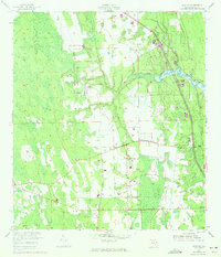
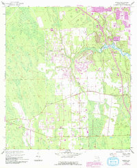
1952 Map of Samsula
USGS Topo · Published 1972About this map
Samsula serves as the primary community in this coastal Florida landscape, where the flat terrain is defined by its drainage and early aviation infrastructure. The Spruce Creek flows through the central portion of the map, and the presence of the Spruce Creek Airport reflects the post-war development of local airfields. The map captures a transition in transportation, showing an Old Railroad Grade alongside more modern road developments updated during the 1970 photorevision. Industrial activity is indicated by a Borrow Pit and a prominent Spoil Bank, illustrating how the land was being altered for construction or drainage. This survey provides a precise look at the rural character of Volusia County before extensive suburbanization, with large tracts of wetlands and marsh surrounding the established township.
Find a feature on this map
7 named features on this map. Tap any name to fly to it.
Don’t see what you’re looking for? This feature index may not catch every label — zoom into the map to look around manually.
Map Details
Editions of this 1952 Samsula Map
6 editions found
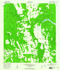
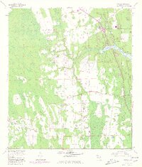
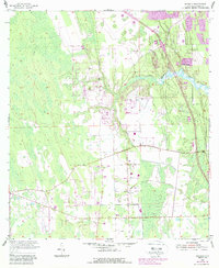
Other maps of this area

1937 · Port Orange
USGS Topo · 1:48,000

1943 · Port Orange
USGS Topo · 1:62,500

1944 · Port Orange
USGS Topo · 1:62,500

1950 · Edgewater
USGS Topo · 1:24,000

1952 · Samsula
USGS Topo · 1:24,000

1952 · Daytona Beach
USGS Topo · 1:24,000

1954 · Daytona Beach
USGS Topo · 1:250,000

1955 · Orlando
USGS Topo · 1:250,000

1956 · Port Orange
USGS Topo · 1:24,000

1956 · New Smyrna Beach
USGS Topo · 1:24,000