
1950 Map of Edgewater
USGS Topo · Published 1952About this map
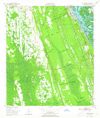
Large Spanish land grants define the geography of the Volusia County coastline at mid-century, carving the landscape into massive tracts such as the Ambrose Hull Grant, Charles Sibbold Grant, and Joseph Wales Grant. These historic boundaries persist alongside the modern infrastructure of the Florida East Coast railway and the maritime thoroughfare of the Intracoastal Waterway. The settlement of Edgewater is concentrated along the western bank of the Indian River, where residential blocks meet the salt marshes and islands like the Three Sisters Islands. Inland, the terrain is characterized by scattered outposts such as Massey Ranch and Creighton, connected by the Valco Road and early utility corridors like the Telephone Line. This survey documents a transition from colonial-era land divisions to the emerging citrus and rail-based economy of the Florida coast.
Find a feature on this map
29 named features on this map. Tap any name to fly to it.
Don’t see what you’re looking for? This feature index may not catch every label — zoom into the map to look around manually.
Map Details
Editions of this 1950 Edgewater Map
5 editions found
Other maps of this area

1937 · Port Orange
USGS Topo · 1:48,000

1943 · Port Orange
USGS Topo · 1:62,500

1944 · Port Orange
USGS Topo · 1:62,500

1949 · Oak Hill
USGS Topo · 1:24,000

1949 · Osceola
USGS Topo · 1:24,000

1950 · Maytown
USGS Topo · 1:24,000

1950 · Ariel
USGS Topo · 1:24,000

1952 · Samsula
USGS Topo · 1:24,000

1954 · Daytona Beach
USGS Topo · 1:250,000

1955 · Orlando
USGS Topo · 1:250,000