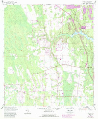
1952 Map of Samsula
USGS Topo · Published 1988About this map
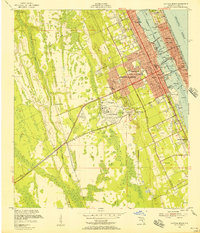
Samsula and the surrounding Volusia County wetlands are captured here during a period of transition, showing the intersection of agricultural land and emerging mid-century development. The landscape is defined by the winding course of Spruce Creek, which serves as a natural corridor for the Spruce Creek Airport and its adjacent residential Trailer Park clusters. This area's transition from an earlier transport era is evidenced by the Old Railroad Grade cutting through the terrain, a relic that contrasts with the newer infrastructure of the era such as the Rest Area and beacon.
Find a feature on this map
11 named features on this map. Tap any name to fly to it.
Don’t see what you’re looking for? This feature index may not catch every label — zoom into the map to look around manually.
Map Details
Editions of this 1952 Samsula Map
6 editions found
Other maps of this area

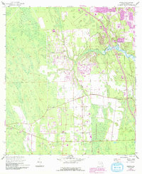
1937 · Port Orange
USGS Topo · 1:48,000

1943 · Port Orange
USGS Topo · 1:62,500
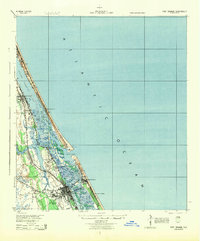
1944 · Port Orange
USGS Topo · 1:62,500
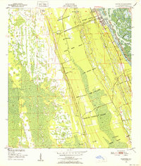
1950 · Edgewater
USGS Topo · 1:24,000
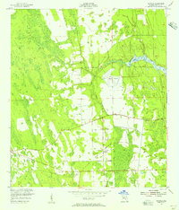
1952 · Samsula
USGS Topo · 1:24,000
1952 · Daytona Beach
USGS Topo · 1:24,000

1954 · Daytona Beach
USGS Topo · 1:250,000

1955 · Orlando
USGS Topo · 1:250,000
1956 · Port Orange
USGS Topo · 1:24,000
1956 · New Smyrna Beach
USGS Topo · 1:24,000