
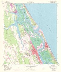
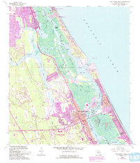
1956 Map of New Smyrna Beach
USGS Topo · Published 1960About this map
New Smyrna Beach and the neighboring community of Edgewater anchor this mid-century coastal survey, illustrating a landscape defined by its intricate waterways and early development. The Florida East Coast Railroad corridor runs parallel to the Indian River, serving as a primary transit spine for the growing city. Evidence of the region’s maritime and aviation heritage is prominent, from the U S Coast Guard Reservation near Ponce de Leon Inlet to the Municipal Airport with its associated control tower.
Find a feature on this map
45 named features on this map. Tap any name to fly to it.
Don’t see what you’re looking for? This feature index may not catch every label — zoom into the map to look around manually.
Map Details
Editions of this 1956 New Smyrna Beach Map
6 editions found
Other maps of this area

1937 · Port Orange
USGS Topo · 1:48,000

1943 · Port Orange
USGS Topo · 1:62,500

1944 · Port Orange
USGS Topo · 1:62,500

1950 · Ariel
USGS Topo · 1:24,000

1950 · Edgewater
USGS Topo · 1:24,000

1952 · Samsula
USGS Topo · 1:24,000

1952 · Daytona Beach
USGS Topo · 1:24,000

1954 · Daytona Beach
USGS Topo · 1:250,000

1955 · Orlando
USGS Topo · 1:250,000

1956 · Port Orange
USGS Topo · 1:24,000