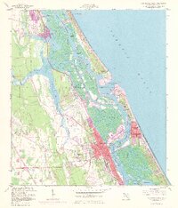
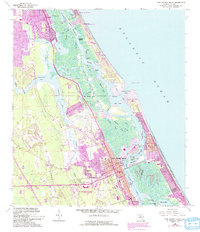
1956 Map of New Smyrna Beach
USGS Topo · Published 1972About this map
The Halifax River and Indian River North create a complex coastal network of inlets and barrier islands along the Volusia County coastline. By the mid-1950s, the growth of New Smyrna Beach is evident, spreading toward Mission City and the shoreline. The map documents a transition in coastal life, where the Intracoastal Waterway cuts through numerous saltwater creeks like Spruce Creek and Rockhouse Cr. Maritime infrastructure is prominent, including the Ponce de Leon Inlet and the U S Coast Guard Res lookout stations.
Find a feature on this map
59 named features on this map. Tap any name to fly to it.
Don’t see what you’re looking for? This feature index may not catch every label — zoom into the map to look around manually.
Map Details
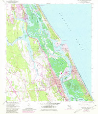
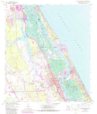
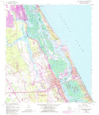
Editions of this 1956 New Smyrna Beach Map
6 editions found

Other maps of this area

1937 · Port Orange
USGS Topo · 1:48,000

1943 · Port Orange
USGS Topo · 1:62,500

1944 · Port Orange
USGS Topo · 1:62,500

1950 · Ariel
USGS Topo · 1:24,000

1950 · Edgewater
USGS Topo · 1:24,000

1952 · Samsula
USGS Topo · 1:24,000

1952 · Daytona Beach
USGS Topo · 1:24,000

1954 · Daytona Beach
USGS Topo · 1:250,000

1955 · Orlando
USGS Topo · 1:250,000

1956 · Port Orange
USGS Topo · 1:24,000