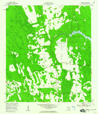
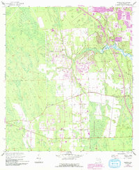
1952 Map of Samsula
USGS Topo · Published 1959About this map
Samsula and the surrounding pine flatwoods of Volusia County are documented here in the early 1950s, a period when the landscape was defined by agricultural clearing and early aviation development. The inland drainage system centers on Spruce Creek, which meanders through the northeast, while the human footprint is marked by the presence of the Spruce Creek Airport. Significant land modifications are visible through several labeled Borrow Pits and an extensive Spoil Bank, likely associated with drainage or road construction in the low-lying Florida terrain. Local history researchers can trace the path of the Old Railroad Grade, which cuts diagonally across the southern half of the quadrangle, indicating a former transport corridor that once connected this rural farming community to the broader coastal network. A lone Beacon near the western edge further emphasizes the importance of navigation and transit in this developing corridor between the interior and the coast.
Find a feature on this map
8 named features on this map. Tap any name to fly to it.
Don’t see what you’re looking for? This feature index may not catch every label — zoom into the map to look around manually.
Map Details
Editions of this 1952 Samsula Map
6 editions found
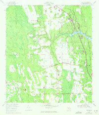
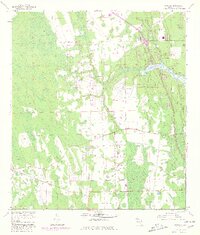
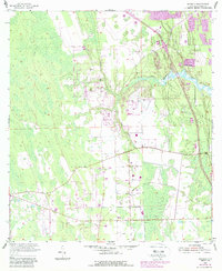
Other maps of this area

1937 · Port Orange
USGS Topo · 1:48,000

1943 · Port Orange
USGS Topo · 1:62,500

1944 · Port Orange
USGS Topo · 1:62,500

1950 · Edgewater
USGS Topo · 1:24,000

1952 · Samsula
USGS Topo · 1:24,000

1952 · Daytona Beach
USGS Topo · 1:24,000

1954 · Daytona Beach
USGS Topo · 1:250,000

1955 · Orlando
USGS Topo · 1:250,000

1956 · Port Orange
USGS Topo · 1:24,000

1956 · New Smyrna Beach
USGS Topo · 1:24,000