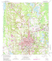
1964 Map of De Land
USGS Topo · Published 1981About this map
Stetson University and the historic heart of De Land anchor this survey of central Volusia County, revealing a landscape defined by its numerous freshwater lakes and citrus-era roads. The city core is a dense grid of institutional and civic life, featuring the Court House, Oakdale Cemetery, and schools like Euclid High Sch. To the west, the Seaboard Coast Line railroad runs parallel to the edge of the Woodruff National Wildlife Refuge, marking the transition from settled town to the marshes of Spring Garden Lake.
Find a feature on this map
88 named features on this map. Tap any name to fly to it.
Don’t see what you’re looking for? This feature index may not catch every label — zoom into the map to look around manually.
Map Details
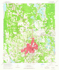
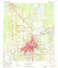
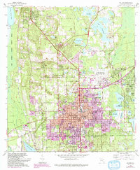
Editions of this 1964 De Land Map
4 editions found
Other maps of this area

1954 · Daytona Beach
USGS Topo · 1:250,000

1955 · Orlando
USGS Topo · 1:250,000

1957 · Orlando
USGS Topo · 1:250,000

1958 · Orlando
USGS Topo · 1:250,000

1958 · Daytona Beach
USGS Topo · 1:250,000

1962 · Orlando
USGS Topo · 1:250,000

1962 · Pine Lakes
USGS Topo · 1:24,000

1962 · Daytona Beach NW
USGS Topo · 1:24,000

1962 · Daytona Beach SW
USGS Topo · 1:24,000

1962 · Lake Woodruff
USGS Topo · 1:24,000