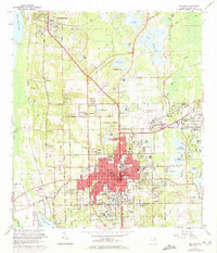
1964 Map of De Land
USGS Topo · Published 1972About this map
Stetson University serves as a central anchor for the mid-century development of De Land, where the city's red-tinted urban core reaches outward toward the agricultural and lakeside outskirts. The map reveals a high concentration of institutional landmarks, including the Florida Military Sch, West Volusia Memorial Hospital, and several high schools, reflecting the city's role as a regional hub. To the north and west, the landscape is defined by the Seaboard Coast Line railroad and smaller settlements like Glenwood and Deleon Springs. Genealogists will find a wealth of burial sites across the quadrangle, from the large Oakdale Cemetery to smaller family-named grounds such as Baker Cem and Wright Cem. The presence of numerous claypits and sand pits near the Dead River and Lake Beresford suggests a local economy tied closely to the land, while the De Land Municipal Airport and Lee Landing Strip indicate the importance of aviation in this era.
Find a feature on this map
104 named features on this map. Tap any name to fly to it.
Don’t see what you’re looking for? This feature index may not catch every label — zoom into the map to look around manually.
Map Details
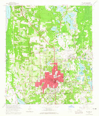
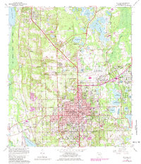
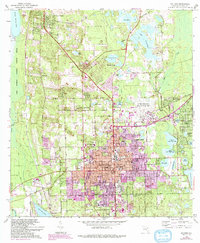
Editions of this 1964 De Land Map
4 editions found
Other maps of this area

1954 · Daytona Beach
USGS Topo · 1:250,000

1955 · Orlando
USGS Topo · 1:250,000

1957 · Orlando
USGS Topo · 1:250,000

1958 · Orlando
USGS Topo · 1:250,000

1958 · Daytona Beach
USGS Topo · 1:250,000

1962 · Orlando
USGS Topo · 1:250,000

1962 · Pine Lakes
USGS Topo · 1:24,000

1962 · Daytona Beach NW
USGS Topo · 1:24,000

1962 · Daytona Beach SW
USGS Topo · 1:24,000

1962 · Lake Woodruff
USGS Topo · 1:24,000