
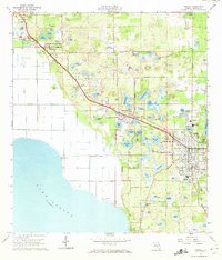
1960 Map of Apopka
USGS Topo · Published 1962About this map
Apopka and its neighboring citrus-belt settlements are defined by the Seaboard Air Line railroad and an intricate landscape of sinkhole lakes in the early 1960s. The region exhibits a mix of established town centers and agricultural expansion, with Zellwood Farms and various claypits scattered across the undulating terrain. To the west, the massive expanse of Lake Apopka meets the shore at Pumping Station No. 2, indicating the managed water levels of the surrounding muck farms.
Find a feature on this map
99 named features on this map. Tap any name to fly to it.
Don’t see what you’re looking for? This feature index may not catch every label — zoom into the map to look around manually.
Map Details
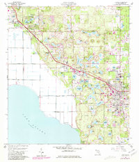
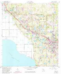
Editions of this 1960 Apopka Map
4 editions found
Other maps of this area

1955 · Orlando
USGS Topo · 1:250,000

1956 · Winter Garden
USGS Topo · 1:24,000

1956 · Orlando West
USGS Topo · 1:24,000

1957 · Orlando
USGS Topo · 1:250,000

1958 · Orlando
USGS Topo · 1:250,000

1959 · Forest City
USGS Topo · 1:24,000

1960 · Sorrento
USGS Topo · 1:24,000

1962 · Orlando
USGS Topo · 1:250,000

1962 · Clermont East
USGS Topo · 1:24,000

1962 · Astatula
USGS Topo · 1:24,000