
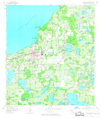
1956 Map of Winter Garden
USGS Topo · Published 1957About this map
The south shore of Lake Apopka defines this citrus-growing region of Central Florida during the mid-1950s. The dense settlement of Winter Garden and the nearby town of Ocoee are prominent, connected by the competing tracks of the Atlantic Coast Line and the Seaboard Air Line railroads. This era showcases a landscape of agricultural utility mixed with early suburban growth, where small communities like Tildenville and Oakland are surrounded by an incredible density of named water bodies, including Johns Lake and Black Lake.
Find a feature on this map
70 named features on this map. Tap any name to fly to it.
Don’t see what you’re looking for? This feature index may not catch every label — zoom into the map to look around manually.
Map Details
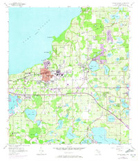
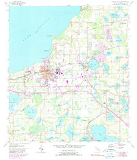
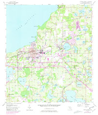
Editions of this 1956 Winter Garden Map
5 editions found
Other maps of this area

1953 · Lake Jessamine
USGS Topo · 1:24,000

1953 · Windermere
USGS Topo · 1:24,000

1955 · Orlando
USGS Topo · 1:250,000

1956 · Orlando West
USGS Topo · 1:24,000

1957 · Orlando
USGS Topo · 1:250,000

1958 · Orlando
USGS Topo · 1:250,000

1959 · Lake Louisa
USGS Topo · 1:24,000

1959 · Forest City
USGS Topo · 1:24,000

1960 · Apopka
USGS Topo · 1:24,000

1962 · Orlando
USGS Topo · 1:250,000