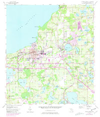
1956 Map of Winter Garden
USGS Topo · Published 1981About this map
The sprawling eastern shore of Lake Apopka anchors this mid-century portrait of Orange County’s citrus heartland. Growing towns like Winter Garden and Ocoee are shown as they expanded toward the south and east, with newer urban footprints marked in purple revisions against the earlier 1956 landscape. The area’s agrarian origins are evident in the numerous namesake lakes and the Seaboard Coast Line railroad that facilitated the local economy.
Find a feature on this map
72 named features on this map. Tap any name to fly to it.
Don’t see what you’re looking for? This feature index may not catch every label — zoom into the map to look around manually.
Map Details
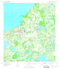
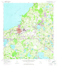
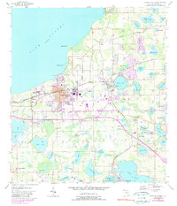
Editions of this 1956 Winter Garden Map
5 editions found
Other maps of this area

1953 · Lake Jessamine
USGS Topo · 1:24,000

1953 · Windermere
USGS Topo · 1:24,000

1955 · Orlando
USGS Topo · 1:250,000

1956 · Winter Garden
USGS Topo · 1:24,000

1956 · Orlando West
USGS Topo · 1:24,000

1957 · Orlando
USGS Topo · 1:250,000

1958 · Orlando
USGS Topo · 1:250,000

1959 · Lake Louisa
USGS Topo · 1:24,000

1959 · Forest City
USGS Topo · 1:24,000

1960 · Apopka
USGS Topo · 1:24,000