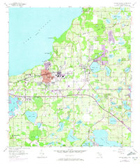
1956 Map of Winter Garden
USGS Topo · Published 1972About this map
Winter Garden and Ocoee anchor this mid-century survey of the citrus-growing region west of Orlando. The landscape is defined by its hydrology, with Lake Apopka dominating the northern edge and a dense network of smaller bodies like Starke Lake and Lake Whitney scattered throughout. The purple revisions on this 1970s release highlight the expanding urban boundaries and the introduction of Florida's Turnpike, which cut through the citrus groves and old rail lines.
Find a feature on this map
72 named features on this map. Tap any name to fly to it.
Don’t see what you’re looking for? This feature index may not catch every label — zoom into the map to look around manually.
Map Details
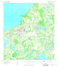
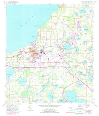
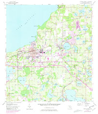
Editions of this 1956 Winter Garden Map
5 editions found
Other maps of this area

1953 · Lake Jessamine
USGS Topo · 1:24,000

1953 · Windermere
USGS Topo · 1:24,000

1955 · Orlando
USGS Topo · 1:250,000

1956 · Winter Garden
USGS Topo · 1:24,000

1956 · Orlando West
USGS Topo · 1:24,000

1957 · Orlando
USGS Topo · 1:250,000

1958 · Orlando
USGS Topo · 1:250,000

1959 · Lake Louisa
USGS Topo · 1:24,000

1959 · Forest City
USGS Topo · 1:24,000

1960 · Apopka
USGS Topo · 1:24,000