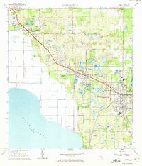
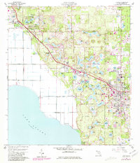
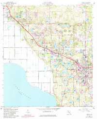
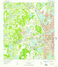
1960 Map of Apopka
USGS Topo · Published 1972About this map
Lake Apopka anchors the southwestern portion of this Central Florida landscape, its shoreline defined by extensive citrus groves and agricultural tracts. During the early 1960s, the region was characterized by the convergence of the Seaboard Air Line and Atlantic Coast Line railroads, which serviced the fruit-packing and shipping hubs of Zellwood, Plymouth, and Apopka. Local community life is deeply recorded through numerous educational and religious sites, including the Hampden DuBose Academy and St Lukes Ch.
Find a feature on this map
101 named features on this map. Tap any name to fly to it.
Don’t see what you’re looking for? This feature index may not catch every label — zoom into the map to look around manually.
Map Details
Editions of this 1960 Apopka Map
4 editions found
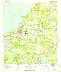
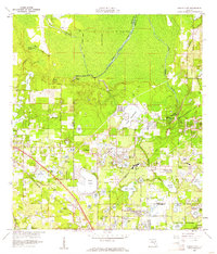
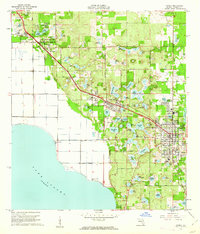
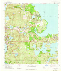
Other maps of this area

1955 · Orlando
USGS Topo · 1:250,000
1956 · Winter Garden
USGS Topo · 1:24,000
1956 · Orlando West
USGS Topo · 1:24,000

1957 · Orlando
USGS Topo · 1:250,000

1958 · Orlando
USGS Topo · 1:250,000
1959 · Forest City
USGS Topo · 1:24,000

1960 · Sorrento
USGS Topo · 1:24,000
1960 · Apopka
USGS Topo · 1:24,000

1962 · Orlando
USGS Topo · 1:250,000
1962 · Clermont East
USGS Topo · 1:24,000