
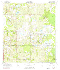
1960 Map of Sorrento
USGS Topo · Published 1962About this map
Sorrento and Mount Plymouth anchor this early 1960s survey of the central Florida ridge, a landscape characterized by its dense network of karst lakes and citrus-era groves. The Atlantic Coast Line railroad cuts diagonally through the terrain, connecting small settlements like Tangerine and Bay Ridge to the broader regional economy. The map captures a moment before modern suburbanization, where citrus production is evidenced by the многочисленные names like Ondich Road and family-linked tracts.
Find a feature on this map
60 named features on this map. Tap any name to fly to it.
Don’t see what you’re looking for? This feature index may not catch every label — zoom into the map to look around manually.
Map Details
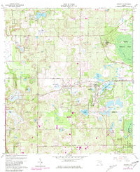
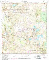
Editions of this 1960 Sorrento Map
4 editions found
Other maps of this area

1955 · Orlando
USGS Topo · 1:250,000

1957 · Orlando
USGS Topo · 1:250,000

1958 · Orlando
USGS Topo · 1:250,000

1959 · Forest City
USGS Topo · 1:24,000

1960 · Apopka
USGS Topo · 1:24,000

1962 · Orlando
USGS Topo · 1:250,000

1962 · Pine Lakes
USGS Topo · 1:24,000

1962 · Astatula
USGS Topo · 1:24,000
1965 · Sanford SW
USGS Topo · 1:24,000

1965 · Umatilla
USGS Topo · 1:24,000