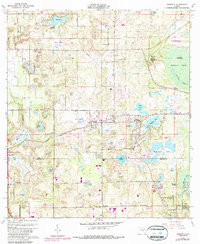
1960 Map of Sorrento
USGS Topo · Published 1987About this map
Sorrento and Mount Plymouth serve as the primary hubs in this central Florida landscape, situated where the high citrus-growing terrain of the Lake Co Orange Co line meets the vast Seminole Swamp. The settlement patterns here are defined by the Seaboard Coast Line railroad and a network of winding roads like Old Sorrento Road, connecting small communities to the citrus groves and clay pits that anchored the local economy during the mid-20th century.
Find a feature on this map
56 named features on this map. Tap any name to fly to it.
Don’t see what you’re looking for? This feature index may not catch every label — zoom into the map to look around manually.
Map Details
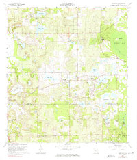
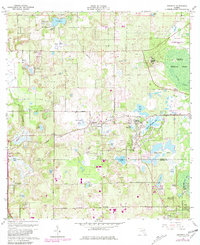
Editions of this 1960 Sorrento Map
4 editions found
Other maps of this area

1955 · Orlando
USGS Topo · 1:250,000

1957 · Orlando
USGS Topo · 1:250,000

1958 · Orlando
USGS Topo · 1:250,000

1959 · Forest City
USGS Topo · 1:24,000

1960 · Sorrento
USGS Topo · 1:24,000

1960 · Apopka
USGS Topo · 1:24,000

1962 · Orlando
USGS Topo · 1:250,000

1962 · Pine Lakes
USGS Topo · 1:24,000

1962 · Astatula
USGS Topo · 1:24,000
1965 · Sanford SW
USGS Topo · 1:24,000