
1962 Map of Astatula
USGS Topo · Published 1964About this map
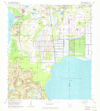
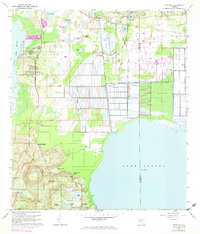
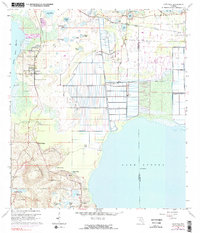
Sugarloaf Mountain provides a striking topographic contrast to the surrounding citrus groves and wetlands of Lake County. This early 1960s survey documents a landscape defined by water management and transit, where the Seaboard Air Line railroad cuts across a terrain dotted with named lakes like Pretty Lake and Lake Ola. The northern reaches of Lake Apopka are visible, featuring the engineering of the Lake Apopka Lock and Dam and the Mc Donald Canal, which illustrate the region's historic reliance on water control for agriculture. Small settlements such as Astatula and Ferndale serve as local hubs, while natural features like Bear Spring and Clay Island highlight the diverse ecosystem of the Florida interior before the onset of modern suburban sprawl. The map even captures small-scale infrastructure such as a Water Tank and several Landing Strips, reflecting the era's local transportation and irrigation needs.
Find a feature on this map
35 named features on this map. Tap any name to fly to it.
Don’t see what you’re looking for? This feature index may not catch every label — zoom into the map to look around manually.
Map Details
Editions of this 1962 Astatula Map
4 editions found
Other maps of this area

1955 · Orlando
USGS Topo · 1:250,000

1956 · Winter Garden
USGS Topo · 1:24,000

1957 · Orlando
USGS Topo · 1:250,000

1958 · Orlando
USGS Topo · 1:250,000

1960 · Sorrento
USGS Topo · 1:24,000

1960 · Apopka
USGS Topo · 1:24,000

1962 · Orlando
USGS Topo · 1:250,000

1962 · Clermont East
USGS Topo · 1:24,000

1965 · Leesburg East
USGS Topo · 1:24,000
1966 · Eustis
USGS Topo · 1:24,000