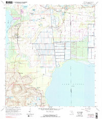
1962 Map of Astatula
USGS Topo · Published 1983About this map
Sugarloaf Mountain rises as a prominent landmark in this Central Florida landscape, standing above a mosaic of lakes and citrus-dominated agriculture. The settlement of Astatula sits near the shores of Little Lake Harris, while the southern reaches of the map show Ferndale and Howey Height positioned along the slopes of the hills. This era is defined by a sophisticated water management system, illustrated by the Apopka Beauclair Canal and the Lake Apopka Lock and Dam, which control the flow into Lake Apopka.
Find a feature on this map
41 named features on this map. Tap any name to fly to it.
Don’t see what you’re looking for? This feature index may not catch every label — zoom into the map to look around manually.
Map Details
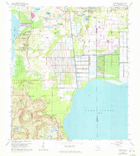
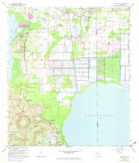
Editions of this 1962 Astatula Map
4 editions found
Other maps of this area

1955 · Orlando
USGS Topo · 1:250,000

1956 · Winter Garden
USGS Topo · 1:24,000

1957 · Orlando
USGS Topo · 1:250,000

1958 · Orlando
USGS Topo · 1:250,000

1960 · Sorrento
USGS Topo · 1:24,000

1960 · Apopka
USGS Topo · 1:24,000

1962 · Orlando
USGS Topo · 1:250,000

1962 · Clermont East
USGS Topo · 1:24,000

1962 · Astatula
USGS Topo · 1:24,000

1965 · Leesburg East
USGS Topo · 1:24,000