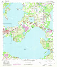
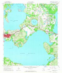
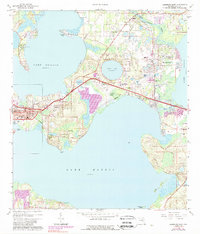
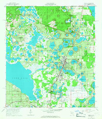
1965 Map of Leesburg East
USGS Topo · Published 1965About this map
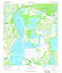
Leesburg and its surrounding water-bound neighborhoods anchor this mid-1960s study of central Florida's lake country. The landscape is defined by the massive expanses of Lake Harris and Lake Griffin, connected by the winding passage of Haines Creek. Between these waters, the development of the era is evident in the sprawling Leesburg Municipal Airport and the campus of Lake-Sumter Jr College. Smaller settlements like Lisbon, Bassville Park, and Sunnyside are connected by the Seaboard Coast Line railroad, which cuts a sharp diagonal across the citrus-growing region.
Find a feature on this map
48 named features on this map. Tap any name to fly to it.
Don’t see what you’re looking for? This feature index may not catch every label — zoom into the map to look around manually.
Map Details
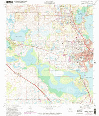
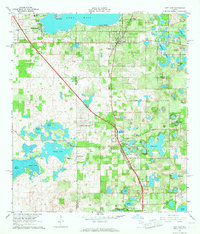
Editions of this 1965 Leesburg East Map
3 editions found
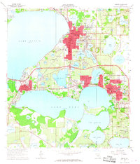
Other maps of this area

1955 · Orlando
USGS Topo · 1:250,000

1957 · Orlando
USGS Topo · 1:250,000

1958 · Orlando
USGS Topo · 1:250,000

1962 · Orlando
USGS Topo · 1:250,000
1962 · Astatula
USGS Topo · 1:24,000
1965 · Umatilla
USGS Topo · 1:24,000
1966 · Leesburg West
USGS Topo · 1:24,000
1966 · Lady Lake
USGS Topo · 1:24,000
1966 · Eustis
USGS Topo · 1:24,000
1966 · Emeralda Island
USGS Topo · 1:24,000