
1966 Map of Leesburg West
USGS Topo · Published 1966About this map
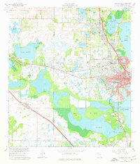
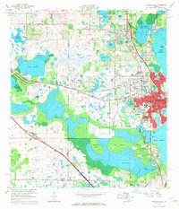
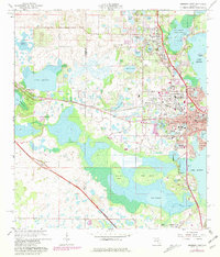
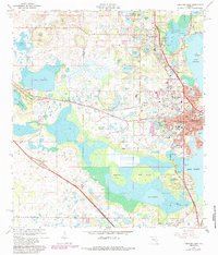
Leesburg and the surrounding Lake County citrus and lake country are captured here during a period of transition in the mid-1960s, with later updates tracking the suburban expansion of Beverly Shores and Fruitland Park. The landscape is a complex mosaic of water and wetlands, defined by the major basins of Lake Harris, Lake Griffin, and the expansive Lake Deaton. The map documents the local educational and social infrastructure, featuring sites like Johnson Jr College, Carver Heights High Sch, and Leesburg High Sch. Transportation corridors are anchored by the Seaboard Coast Line railroad and the Floridas Turnpike, which cuts through the southwestern corner near the Okahumpka Plaza. Unique terrain features like Magnolia Island and Flat Island rise above the marshy fringes of Lake Denham, while the Flying Baron Airport reflects the era's light aviation activity.
Find a feature on this map
73 named features on this map. Tap any name to fly to it.
Don’t see what you’re looking for? This feature index may not catch every label — zoom into the map to look around manually.
Map Details
Editions of this 1966 Leesburg West Map
5 editions found
Other maps of this area

1893 · Panasoffkee
USGS Topo · 1:62,500

1895 · Panasoffkee
USGS Topo · 1:62,500

1955 · Plant City
USGS Topo · 1:250,000

1955 · Orlando
USGS Topo · 1:250,000

1957 · Orlando
USGS Topo · 1:250,000

1958 · Orlando
USGS Topo · 1:250,000

1958 · Plant City
USGS Topo · 1:250,000

1958 · Bushnell
USGS Topo · 1:24,000

1959 · Plant City
USGS Topo · 1:250,000

1962 · Orlando
USGS Topo · 1:250,000