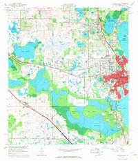
1966 Map of Leesburg West
USGS Topo · Published 1968About this map
Leesburg and its surrounding lake-strewn landscape are captured here during a period of mid-century development. The map shows the established residential grid of the city, featuring several educational institutions like Leesburg High Sch and Carver Heights High Sch, alongside the campus of Johnson Jr College. The regional transportation network is anchored by the Seaboard Coast Line railroad and the Sunshine State Parkway, which bypasses the older settlements of Okahumpka and Orange Home. Outside the urban center, the terrain is dominated by a complex system of water bodies, including the expansive Lake Harris and the protected lands of Lake Griffin State Park. Scattered throughout the rural areas are specialized features such as multiple claypits, Bugg Spring, and landmarks like the Radio Tower (WBIL), reflecting a landscape transition from agriculture and resource extraction to modern recreational and residential use.
Find a feature on this map
81 named features on this map. Tap any name to fly to it.
Don’t see what you’re looking for? This feature index may not catch every label — zoom into the map to look around manually.
Map Details
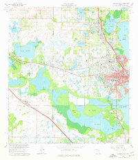
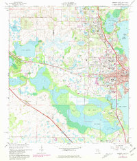
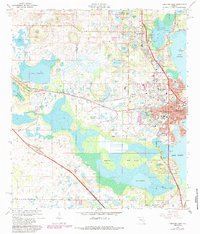
Editions of this 1966 Leesburg West Map
5 editions found

Other maps of this area

1893 · Panasoffkee
USGS Topo · 1:62,500

1895 · Panasoffkee
USGS Topo · 1:62,500

1955 · Plant City
USGS Topo · 1:250,000

1955 · Orlando
USGS Topo · 1:250,000

1957 · Orlando
USGS Topo · 1:250,000

1958 · Orlando
USGS Topo · 1:250,000

1958 · Plant City
USGS Topo · 1:250,000

1958 · Bushnell
USGS Topo · 1:24,000

1959 · Plant City
USGS Topo · 1:250,000

1962 · Orlando
USGS Topo · 1:250,000