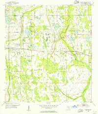
1953 Map of Bithlo
USGS Topo · Published 1972About this map
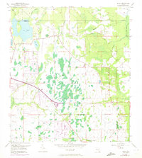
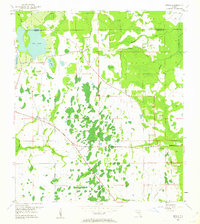
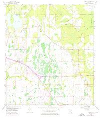
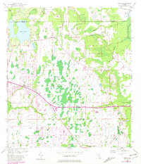
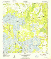
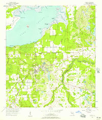
The low-lying wetlands of eastern Orange County dominate this mid-century survey, where the Econlockhatchee River and Tootoosahatchee Creek wind through a landscape defined by seasonal water and cypress stands. The settlement of Bithlo serves as a small focal point along the western edge, while to the east, the rural community at Christmas begins to take shape. This era shows the transition of the corridor between Orlando and the coast, with the prominent Cheney Highway cutting across the central plains.
Find a feature on this map
20 named features on this map. Tap any name to fly to it.
Don’t see what you’re looking for? This feature index may not catch every label — zoom into the map to look around manually.
Map Details
Editions of this 1953 Bithlo Map
5 editions found
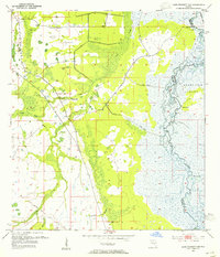
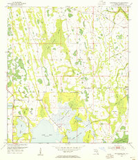
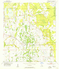
Other maps of this area
1950 · Aurantia
USGS Topo · 1:24,000
1953 · Narcoossee NE
USGS Topo · 1:24,000
1953 · Geneva
USGS Topo · 1:24,000
1953 · Titusville SW
USGS Topo · 1:24,000
1953 · Oviedo SW
USGS Topo · 1:24,000
1953 · Lake Poinsett NW
USGS Topo · 1:24,000
1953 · Narcoossee NW
USGS Topo · 1:24,000
1953 · Bithlo
USGS Topo · 1:24,000

1955 · Orlando
USGS Topo · 1:250,000
1956 · Oviedo
USGS Topo · 1:24,000