1949 Map of Wilson
USGS Topo · Published 1988About this map
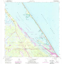
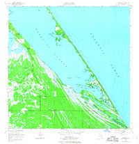
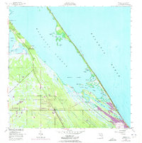
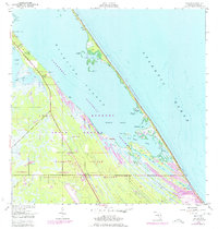
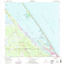
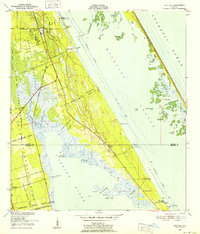
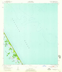
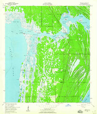
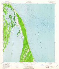
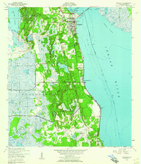
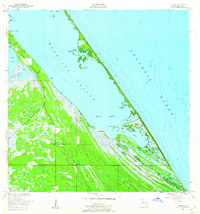
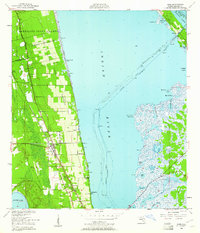
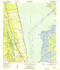
Merritt Island and the surrounding coastal marshlands define this transition from traditional Florida maritime life to the aerospace era. Grounded in a 1949 survey with later revisions, the landscape shows the intersection of the John F Kennedy Space Center (NASA) with established coastal features like Ragin Fish Camp and the settlement at Wilson. The map documents a complex aquatic environment where the Mosquito Lagoon meets the Atlantic Ocean, segmented by the Haulover Canal and the remnants of an Old Canal. The southern reaches of the sheet are heavily influenced by federal development, most notably the US Government RR serving the burgeoning space program infrastructure. This survey captures a specific moment when the Canaveral National Seashore and National Wildlife Refuge boundaries preserved natural landmarks like Klondike Beach alongside the emerging Launch Complex 39B.
Find a feature on this map
42 named features on this map. Tap any name to fly to it.
Don’t see what you’re looking for? This feature index may not catch every label — zoom into the map to look around manually.
Map Details
Editions of this 1949 Wilson Map
6 editions found
Other maps of this area
1949 · Oak Hill
USGS Topo · 1:24,000
1949 · Pardon Island
USGS Topo · 1:24,000
1949 · Orsino
USGS Topo · 1:24,000
1949 · False Cape
USGS Topo · 1:24,000
1949 · Titusville
USGS Topo · 1:24,000
1949 · Wilson
USGS Topo · 1:24,000
1949 · Mims
USGS Topo · 1:24,000

1951 · False Cape
USGS Topo · 1:24,000

1951 · Orsino
USGS Topo · 1:24,000
1952 · Mims
USGS Topo · 1:24,000