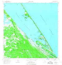
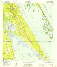
1949 Map of Wilson
USGS Topo · Published 1968About this map
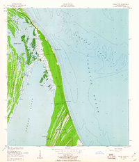
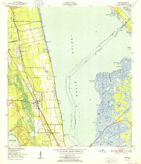
Mosquito Lagoon dominates this coastal landscape, separating the mainland from the slender barrier islands that front the Atlantic Ocean. In this late 1940s survey, the area is defined by a sparse network of camps and groves rather than dense development. The settlement of Wilson sits at a crossroads near the Haulover Canal, a critical link for the Intracoastal Waterway. To the north, Dummit Grove and the small station of Dummit are established near the marshy fingers of Dummit Creek.
Find a feature on this map
36 named features on this map. Tap any name to fly to it.
Don’t see what you’re looking for? This feature index may not catch every label — zoom into the map to look around manually.
Map Details
Editions of this 1949 Wilson Map
6 editions found
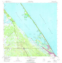
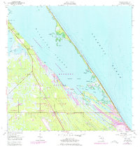
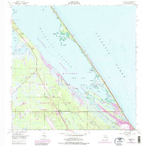
Other maps of this area
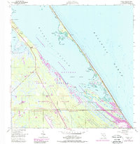
1949 · Oak Hill
USGS Topo · 1:24,000
1949 · Pardon Island
USGS Topo · 1:24,000
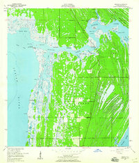
1949 · Orsino
USGS Topo · 1:24,000
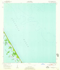
1949 · False Cape
USGS Topo · 1:24,000
1949 · Titusville
USGS Topo · 1:24,000
1949 · Wilson
USGS Topo · 1:24,000
1949 · Mims
USGS Topo · 1:24,000

1951 · False Cape
USGS Topo · 1:24,000

1951 · Orsino
USGS Topo · 1:24,000
1952 · Mims
USGS Topo · 1:24,000