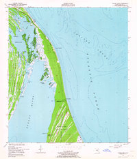
1949 Map of False Cape
USGS Topo · Published 1964About this map
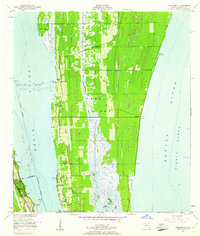
False Cape and the surrounding Canaveral Peninsula are depicted here just as the post-war era began to transform the Florida coast. This 1949 survey, based on field work and aerial photography from 1948, shows a landscape defined by intricate waterways and coastal hammocks before the significant space-age developments nearby. The area is characterized by a series of barrier islands and peninsulas, including the northern reaches of Merritt Island and the expansive Canaveral State Game Refuge.
Find a feature on this map
39 named features on this map. Tap any name to fly to it.
Don’t see what you’re looking for? This feature index may not catch every label — zoom into the map to look around manually.
Map Details
Editions of this 1949 False Cape Map
3 editions found
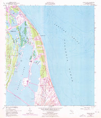
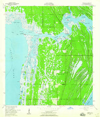
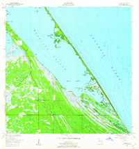
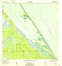
Other maps of this area
1949 · Orsino
USGS Topo · 1:24,000
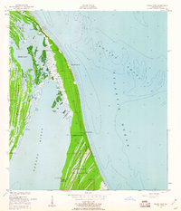
1949 · False Cape
USGS Topo · 1:24,000
1949 · Courtenay
USGS Topo · 1:24,000
1949 · Wilson
USGS Topo · 1:24,000

1951 · False Cape
USGS Topo · 1:24,000

1951 · Courtenay
USGS Topo · 1:24,000

1951 · Orsino
USGS Topo · 1:24,000
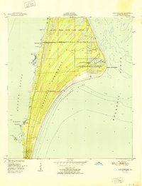
1951 · Cape Canaveral
USGS Topo · 1:24,000
1952 · Wilson
USGS Topo · 1:24,000

1955 · Orlando
USGS Topo · 1:250,000