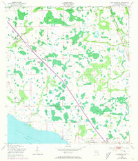
1953 Map of Lake Marian NE
USGS Topo · Published 1973About this map
Lake Marian defines the southern boundary of this Osceola County landscape, where the flat, swampy terrain is etched with a network of sloughs and ponds. By the early 1970s, the Floridas Toll Turnpike cuts a straight diagonal through the western half of the map, running parallel to an older Old Railroad Grade. This infrastructure reflects the transition from early cattle ranching to modern transportation corridors.
Find a feature on this map
26 named features on this map. Tap any name to fly to it.
Don’t see what you’re looking for? This feature index may not catch every label — zoom into the map to look around manually.
Map Details
Editions of this 1953 Lake Marian NE Map
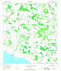
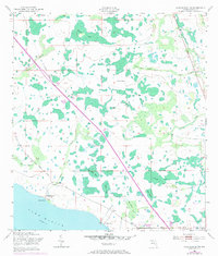
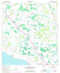
5 editions found
Other maps of this area

1953 · Lake Marian NW
USGS Topo · 1:24,000

1953 · Lake Marian SE
USGS Topo · 1:24,000

1953 · Holopaw SE
USGS Topo · 1:24,000

1953 · Kenansville SW
USGS Topo · 1:24,000

1953 · Lake Marian SW
USGS Topo · 1:24,000

1953 · Kenansville
USGS Topo · 1:24,000

1953 · Holopaw SW
USGS Topo · 1:24,000

1953 · Deer Park
USGS Topo · 1:24,000

1953 · Lake Marian NE
USGS Topo · 1:24,000

1955 · Orlando
USGS Topo · 1:250,000