
1952 Map of Lake Weohyakapka
USGS Topo · Published 1953About this map
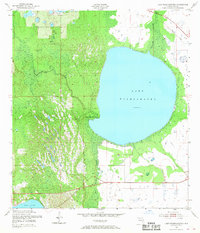
Lake Weohyakapka dominates this Central Florida landscape, its broad waters held at sixty-two feet above sea level. This early 1950s survey illustrates a rural Polk County environment defined by significant wetlands and watercourses. To the west, the winding Tiger Creek flows through the distinct vegetation of Tiger Creek Hammock, while the southern reaches are characterized by the dense expanse of the Blue Jordan Swamp. This wetland system eventually feeds into the northern tip of Reedy Lake at the bottom edge of the sheet. The northeastern corner shows the transit infrastructure of the era, where the Seaboard Air Line Railroad cuts across the landscape near Weohyakapka Creek. The map provides a precise record of the natural hydrology and early rail corridor before later 20th-century development altered the drainage patterns of these hammock and swamp ecosystems.
Find a feature on this map
10 named features on this map. Tap any name to fly to it.
Don’t see what you’re looking for? This feature index may not catch every label — zoom into the map to look around manually.
Map Details
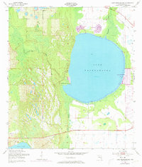
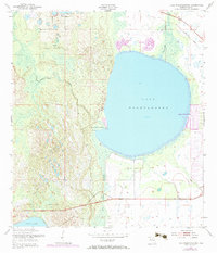
Editions of this 1952 Lake Weohyakapka Map
4 editions found
Other maps of this area

1952 · Lake Wales
USGS Topo · 1:24,000

1952 · Lake Weohyakapka SE
USGS Topo · 1:24,000

1952 · Lake Weohyakapka NE
USGS Topo · 1:24,000

1952 · Lake Arbuckle NE
USGS Topo · 1:24,000

1952 · Babson Park
USGS Topo · 1:24,000

1952 · Hesperides
USGS Topo · 1:24,000

1952 · Lake Arbuckle
USGS Topo · 1:24,000

1953 · Frostproof
USGS Topo · 1:24,000

1956 · Fort Pierce
USGS Topo · 1:250,000

1958 · Fort Pierce
USGS Topo · 1:250,000