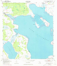
1952 Map of Lake Weohyakapka NE
USGS Topo · Published 1973About this map
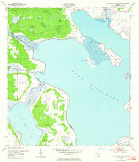
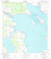
The Kissimmee River meanders through this subtropical landscape, marking the boundary between Osceola and Polk counties during the early 1950s. This survey, updated with 1972 aerial revisions, details a significant aquatic junction where Tiger Creek flows from Tiger Lake into the expansive Lake Kissimmee. The map reveals a mosaic of marshland and sandy hammocks, punctuated by named landforms that rising just above the water level, such as Lemon Point and Buster Island.
Find a feature on this map
14 named features on this map. Tap any name to fly to it.
Don’t see what you’re looking for? This feature index may not catch every label — zoom into the map to look around manually.
Map Details
Editions of this 1952 Lake Weohyakapka NE Map
4 editions found
Other maps of this area

1952 · Lake Weohyakapka SE
USGS Topo · 1:24,000

1952 · Lake Weohyakapka NE
USGS Topo · 1:24,000

1952 · Hesperides
USGS Topo · 1:24,000

1952 · Lake Weohyakapka
USGS Topo · 1:24,000

1953 · Lake Marian NW
USGS Topo · 1:24,000

1953 · Cypress Lake
USGS Topo · 1:24,000

1953 · Lake Marian SW
USGS Topo · 1:24,000

1953 · Lake Hatchineha
USGS Topo · 1:24,000

1953 · Holopaw SW
USGS Topo · 1:24,000

1955 · Orlando
USGS Topo · 1:250,000