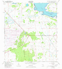
1952 Map of Lake Weohyakapka SE
USGS Topo · Published 1973About this map
Lake Kissimmee and the northern reaches of Tiger Lake anchor this 1950s landscape, which transitioned during the early 1970s with the development of Indian Lake Estates. The grid-like street patterns of the estate development contrast sharply with the surrounding wetland environment, where Buttermilk Slough drains toward the larger water bodies. Evidence of earlier industrial transit is visible in the Old Railroad Grade that cuts diagonally across the terrain, marking a former path through the sawgrass and scrub. To the northeast, the prominence of Brahma Island sits at the edge of the Osceola Co Polk Co line, illustrating the remote and water-bound nature of the boundary in this era. The map’s 1972 revisions reveal the encroachment of modern subdivision planning onto a previously sparse, marshy interior.
Find a feature on this map
7 named features on this map. Tap any name to fly to it.
Don’t see what you’re looking for? This feature index may not catch every label — zoom into the map to look around manually.
Map Details
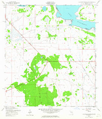
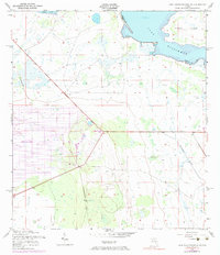
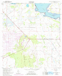
Editions of this 1952 Lake Weohyakapka SE Map
5 editions found
Other maps of this area

1952 · Lake Weohyakapka SE
USGS Topo · 1:24,000

1952 · Lake Weohyakapka NE
USGS Topo · 1:24,000

1952 · Fort Kissimmee NW
USGS Topo · 1:24,000

1952 · Lake Arbuckle NE
USGS Topo · 1:24,000

1952 · Hesperides
USGS Topo · 1:24,000

1952 · Lake Arbuckle
USGS Topo · 1:24,000

1952 · Lake Weohyakapka
USGS Topo · 1:24,000

1953 · Lake Marian NW
USGS Topo · 1:24,000

1953 · Lake Marian SW
USGS Topo · 1:24,000

1956 · Fort Pierce
USGS Topo · 1:250,000