
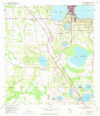
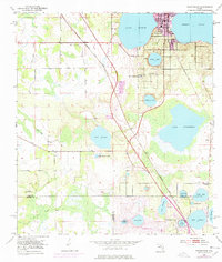
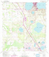
1953 Map of Frostproof
USGS Topo · Published 1987About this map
The town of Frostproof and its surrounding citrus-growing region are captured here during a period of transition, with original 1950s data updated by 1980s aerial photography. Positioned between the massive shores of Lake Clinch and Reedy Lake, the landscape is defined by its complex hydrology and the infrastructure of the CSX railroad. Rural life is anchored by locations like Corinth Ch and the Silver Lake Cem, while smaller settlements such as Maxey Quarters and Neilson dot the terrain.
Find a feature on this map
37 named features on this map. Tap any name to fly to it.
Don’t see what you’re looking for? This feature index may not catch every label — zoom into the map to look around manually.
Map Details
Editions of this 1953 Frostproof Map
5 editions found
Other maps of this area

1952 · Lake Arbuckle SW
USGS Topo · 1:24,000

1952 · Babson Park
USGS Topo · 1:24,000

1952 · Lake Arbuckle
USGS Topo · 1:24,000

1952 · Lake Weohyakapka
USGS Topo · 1:24,000

1953 · Frostproof
USGS Topo · 1:24,000

1953 · Avon Park
USGS Topo · 1:24,000

1955 · Alturas
USGS Topo · 1:24,000

1956 · Bereah
USGS Topo · 1:24,000

1956 · Griffins Corner
USGS Topo · 1:24,000

1956 · Fort Pierce
USGS Topo · 1:250,000