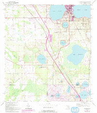
1953 Map of Frostproof
USGS Topo · Published 1993About this map
Lake Clinch and Reedy Lake define the northern landscape of this Central Florida corridor, where the town of Frostproof serves as the primary hub of settlement. Surveyed by the Corps of Engineers and the Geological Survey in the early 1950s, the map reveals a region transitioning toward residential development and citrus agriculture. Small communities such as West Frostproof, Maxey Quarters, and Pittsburg dot the landscape alongside the remnants of earlier industry, evidenced by an Old Railroad Grade and a sand pit near Highland Lakes.
Find a feature on this map
33 named features on this map. Tap any name to fly to it.
Don’t see what you’re looking for? This feature index may not catch every label — zoom into the map to look around manually.
Map Details
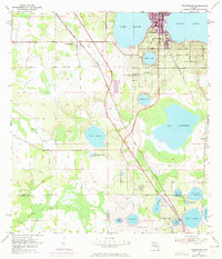
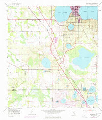
Editions of this 1953 Frostproof Map
5 editions found

Other maps of this area

1952 · Lake Arbuckle SW
USGS Topo · 1:24,000

1952 · Babson Park
USGS Topo · 1:24,000

1952 · Lake Arbuckle
USGS Topo · 1:24,000

1952 · Lake Weohyakapka
USGS Topo · 1:24,000

1953 · Frostproof
USGS Topo · 1:24,000

1953 · Avon Park
USGS Topo · 1:24,000

1955 · Alturas
USGS Topo · 1:24,000

1956 · Bereah
USGS Topo · 1:24,000

1956 · Griffins Corner
USGS Topo · 1:24,000

1956 · Fort Pierce
USGS Topo · 1:250,000