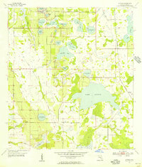
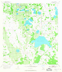
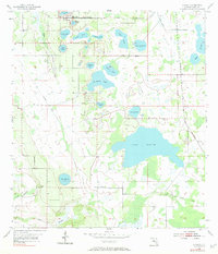
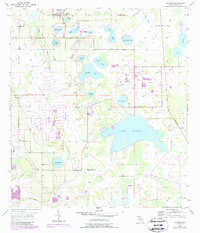
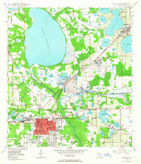
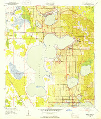
1955 Map of Alturas
USGS Topo · Published 1956About this map
Alturas and the surrounding citrus and phosphate lands of Polk County are defined by a vast network of water bodies and transportation lines in the mid-1950s. The Seaboard Air Line railroad cuts through the northern landscape, while an Old Railroad Grade further south indicates the shifting infrastructure of the region's earlier industrial era. Dominating the central area is the expansive Lake Buffum, bordered by the Lake Buffum Ch and a small Cem, serving as a focal point for the local community. The terrain is a mix of natural wetlands and human modification, evidenced by the Strip Mine in the southwest and the Drainage Canal feeding into Peace Creek in the northeast. From Surveyors Lake to Lake Henry, this survey illustrates a landscape deeply tied to its water table and its rail-connected economy.
Find a feature on this map
28 named features on this map. Tap any name to fly to it.
Don’t see what you’re looking for? This feature index may not catch every label — zoom into the map to look around manually.
Map Details
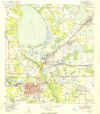
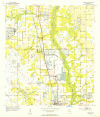
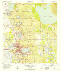
Editions of this 1955 Alturas Map
4 editions found
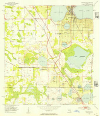
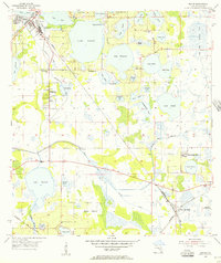
Other maps of this area
1949 · Bartow
USGS Topo · 1:24,000
1950 · Bartow
USGS Topo · 1:24,000
1952 · Homeland
USGS Topo · 1:24,000
1952 · Lake Wales
USGS Topo · 1:24,000
1952 · Babson Park
USGS Topo · 1:24,000
1953 · Frostproof
USGS Topo · 1:24,000
1955 · Eloise
USGS Topo · 1:24,000
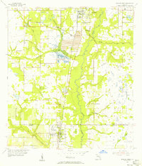
1955 · Bowling Green
USGS Topo · 1:24,000

1956 · Bereah
USGS Topo · 1:24,000

1956 · Fort Pierce
USGS Topo · 1:250,000