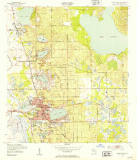
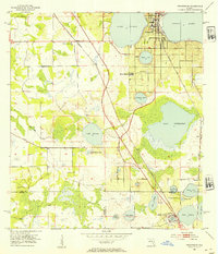
1955 Map of Alturas
USGS Topo · Published 1988About this map
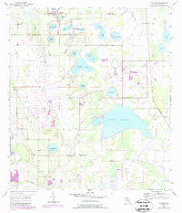
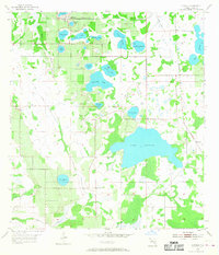
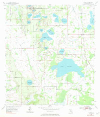
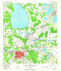
Alturas serves as the primary settlement in this Lakeland-area interior, characterized by a dense concentration of named lakes and evidence of significant land modification. The landscape is dominated by large water bodies such as Lake Buffum, Surveyors Lake, and Lake Pembroke, which sit alongside numerous smaller basins like Polecat Lake and Gadau Lake. An extensive Old Railroad Grade cuts through the western and southern sections of the map, tracing former industrial or agricultural transit routes that shaped the region before mid-century.
Find a feature on this map
26 named features on this map. Tap any name to fly to it.
Don’t see what you’re looking for? This feature index may not catch every label — zoom into the map to look around manually.
Map Details
Editions of this 1955 Alturas Map
4 editions found
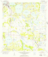
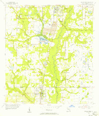
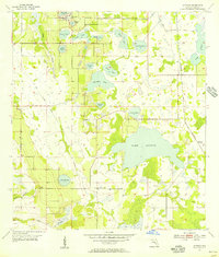
Other maps of this area
1949 · Bartow
USGS Topo · 1:24,000
1950 · Bartow
USGS Topo · 1:24,000
1952 · Homeland
USGS Topo · 1:24,000
1952 · Lake Wales
USGS Topo · 1:24,000
1952 · Babson Park
USGS Topo · 1:24,000
1953 · Frostproof
USGS Topo · 1:24,000
1955 · Eloise
USGS Topo · 1:24,000
1955 · Bowling Green
USGS Topo · 1:24,000
1955 · Alturas
USGS Topo · 1:24,000

1956 · Bereah
USGS Topo · 1:24,000