
1955 Map of Bowling Green
USGS Topo · Published 1956About this map
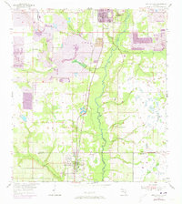
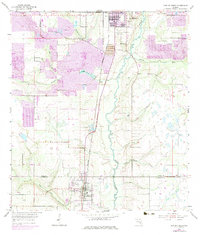
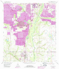
Phosphate mining and the winding path of the Peace River define this mid-century landscape along the border of Polk Co and Hardee Co. Extensive Strip Mine operations, accompanied by complex Tailings and Tailings Pond systems, dominate the northern reaches near Fort Meade, where the Atlantic Coast Line railroad facilitates industrial transit. These excavations sit in stark contrast to the traditional citrus and cattle country surrounding Bowling Green to the south.
Find a feature on this map
22 named features on this map. Tap any name to fly to it.
Don’t see what you’re looking for? This feature index may not catch every label — zoom into the map to look around manually.
Map Details
Editions of this 1955 Bowling Green Map
4 editions found
Other maps of this area

1949 · Bradley Junction
USGS Topo · 1:24,000

1950 · Bradley Junction
USGS Topo · 1:24,000

1952 · Homeland
USGS Topo · 1:24,000

1955 · Ft. Green
USGS Topo · 1:24,000

1955 · Wauchula
USGS Topo · 1:24,000

1955 · Baird
USGS Topo · 1:24,000

1955 · Alturas
USGS Topo · 1:24,000

1956 · Bereah
USGS Topo · 1:24,000

1956 · Griffins Corner
USGS Topo · 1:24,000

1956 · Fort Pierce
USGS Topo · 1:250,000